- Licence
- 202300529
- Access no.
- 3435157
- Location
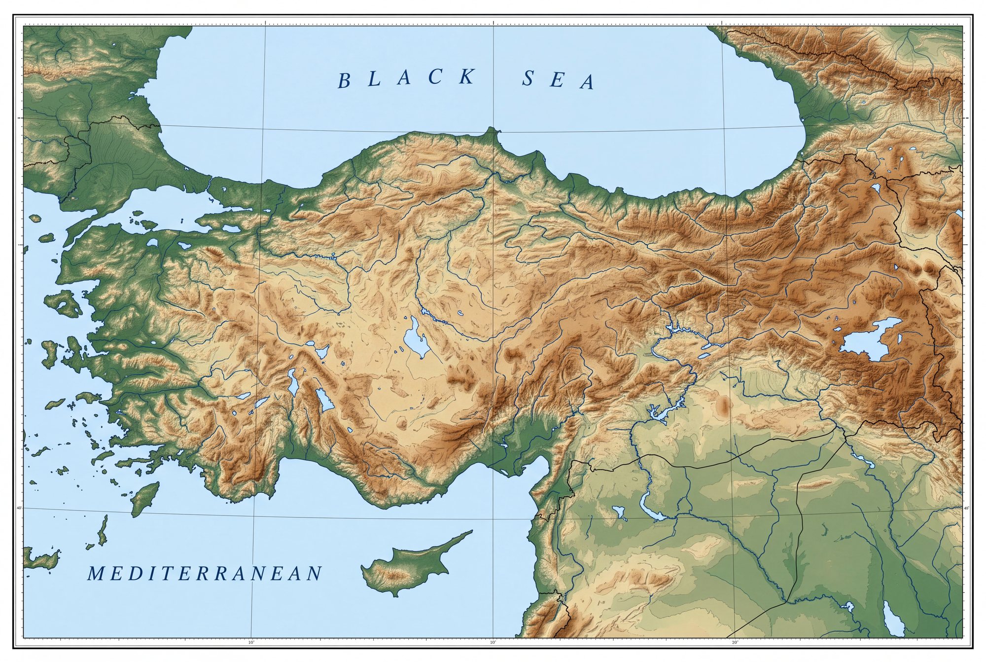
- Rezip · Merkez · Adıyaman
- Area
- 605.55 ha
- Target metals
- Cu · Pb · Zn
- Belt
- SE Anatolian suture
- Probable reserve
- 22,400 t *
- Best grade as filed
- 9,176.3 ppm — Cu 9,176.3 ppm, Pb 9,467.5 ppm, Zn 8,870.3 ppm as filed
- Centroid (WGS84)
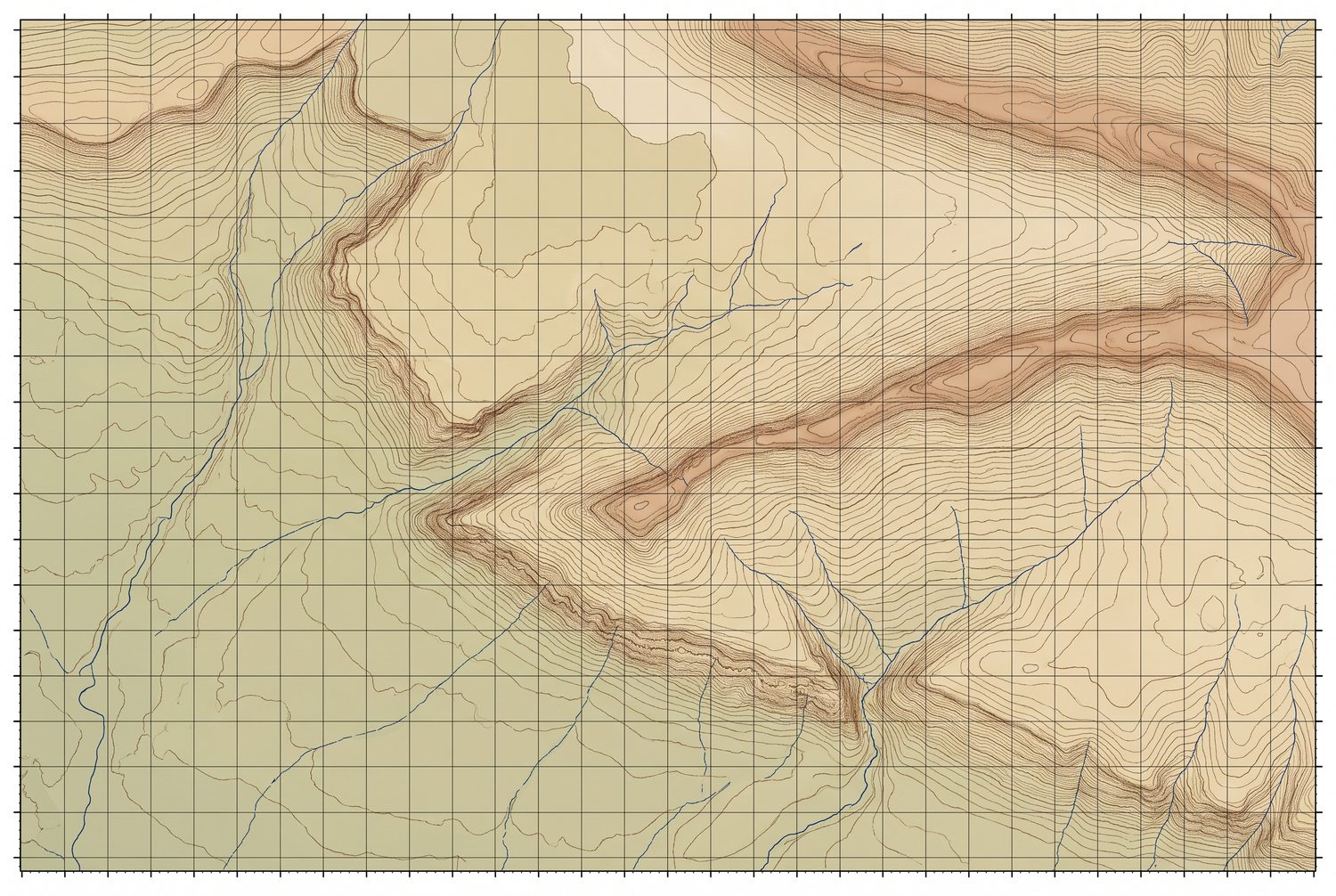
- 37.8980° N, 38.2940° E
- Map sheets
- M40B1
- Detailed Exploration budget
- 5,000 m · 7.60 m TRY
Geology
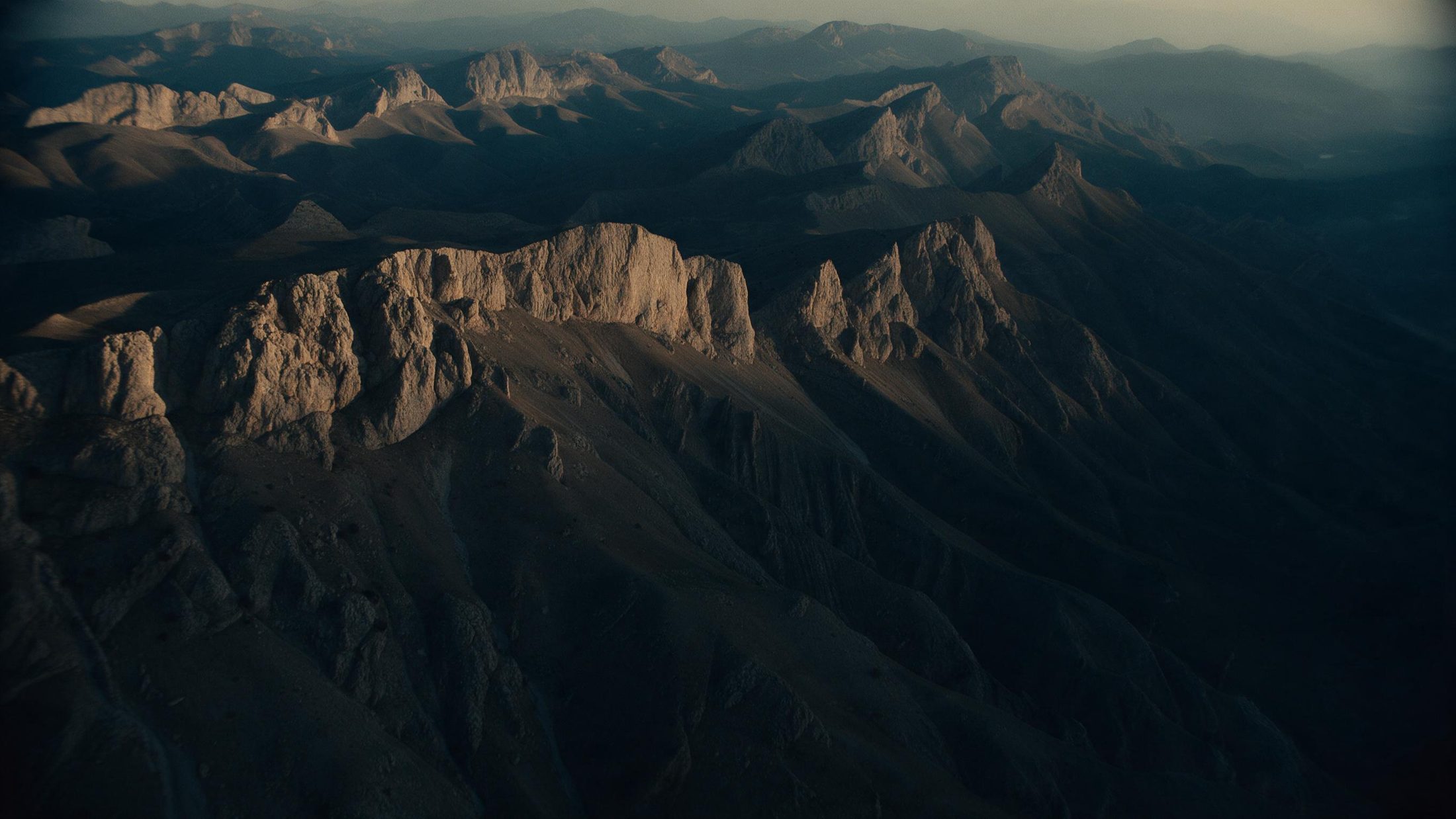
Koçali Complex mafic volcanics and sediments beneath shelf limestone that forms steep scarps across the licence, with chert horizons common in the limestone. Iron, magnetite and nickel-bearing levels were identified and sampled in both units.
Work completed
Geological mapping, hand-core drilling and core sampling
Source: the Genel Arama Dönemi Faaliyet Raporu filed for licence 202300529; assays by ArgeTest Laboratuvarı, Ankara, codes FA02 / GAR01-ext. The licence boundary is 3 separate parcels in the filed KMZ.
* Tonnages on this site are “muhtemel rezerv” (probable reserve) as calculated under Turkish Mining Law 3213 and filed with MAPEG. They are not Mineral Resources or Ore Reserves under JORC or NI 43-101, no Competent or Qualified Person has signed them, and they should not be read as either.
The ground
On the map
The other three